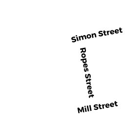
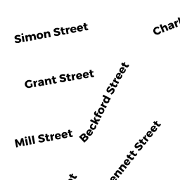
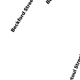
20 BECKFORD ST
Owner Information
CLOSE DAVID T
20 BECKFORD ST
BEVERLY, MA 01915

Property Details
20 BECKFORD ST is classified as a Single Family Residential (Old style).
The primary structure on this property was built in 1900. There are 1,986ft2 of built area within this property. There is 1,986ft2 of residential/living space within this property. This property is listed as having 8 rooms.
20 BECKFORD ST is valued at $425,700. The land is valued at $201,700 and the structures are valued at $221,000. There is an additional valuation of $3,000 on this property.
This property is in Zone RMD. Confirm with local Zoning Board authorities to ensure there are no overlays or other easements on this property.
The most recent deed for 20 BECKFORD ST is recorded at the local registrar in Book 37433, Page 244. 20 BECKFORD ST was last sold on Wednesday, April 10, 2019 for $325,000.
Assessment data from fiscal year 2022.
Flood Data
According to the FEMA National Flood Hazard Layer, this property does not appear to be in a flood zone. It may also be in an area not yet reviewed. Nonetheless, confirm this information prior to taking any action.
To view the flood hazards around this property, create a FEMA "Firmette" Map of the area around 20 BECKFORD ST.
Broadband Internet Providers
| Provider | Type | Bandwidth (mbps) | |
|---|---|---|---|
| Viasat Inc | Satellite | 100 | 3 |
| VSAT Systems, LLC. | Satellite | 2 | 1 |
| HughesNet | Satellite | 25 | 3 |
| Comcast | Cable | 1000 | 35 |
| Verizon New England Inc. | DSL | 15 | 1 |
| Crown Castle Fiber | Fiber | 0 | 0 |
| T-Mobile | Fixed Wireless | 25 | 3 |
| GCI Communication Corp. | Satellite | 0 | 0 |
Broadband service provider data from December 2020.
Adjacent Properties
- 18 BECKFORD ST
Single Family Residential owned by LOPEZ AUDREY E - 17 -19 GAGE ST
Three-Family Residential owned by 17-19 GAGE STREET LLC - 21 GAGE ST
Residential Condominium owned by SIMOGLOU ROBERT E - 21 GAGE ST
Residential Condominium owned by DE FREITAS REGINA M - 22 BECKFORD ST
Two-Family Residential owned by EBERSOLE FAMILY TRUST